Project of the week/2011/Jan 19
Banks
Banks banks banks. Not the banks of a river, but financial institutions. I'll just run out to the bank for a moment. But which bank is closest and most convenient? Do you need a bank with wheelchair access, or with drive through service? Or are you looking for a late night automated teller machine? We can put all of this information on the map and that is the Project of the Week. Map your local banks.
Tagging suggestions
Banks can be mapped as a node or an area.
Required tags
The only required tags for a bank are
Optional tags
Add addressing information for the bank as well.
Wheelchair accessible?
- wheelchair=yes/no/limited
Is drive through service available?
- drive_through=yes/no
Automated teller machines
Add ATMs as additional nodes
Results
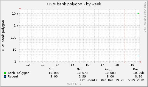
These graphs show the number of ATM points and bank polygons in the OpenStreetMap data base. The graphs are updated about once per hour.
http://rweait.dev.openstreetmap.org/osmbankpol-week.png
http://rweait.dev.openstreetmap.org/osmatmpt-week.png